Wildlife Corridor Study
-
Phase 1: Research
Conducting a wildlife corridor and connectivity study where creeks disappear under roadways—commonly referred to in road ecology as assessing culvert and bridge aquatic/terrestrial permeability—is a highly effective way to restore ecosystems.
1. Initial Scoping & Focal Species Selection
Identify Target Species: Determine which animals use the riparian corridor. This includes aquatic and semi-aquatic species that use creeks as natural travel paths.
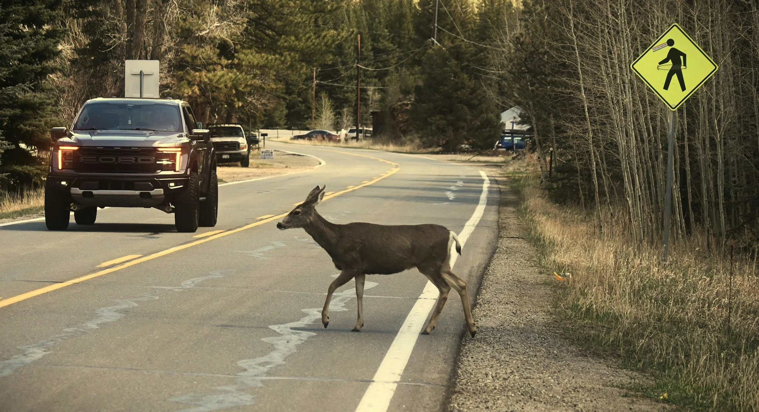
Gather Existing Data: Review local roadkill or Wildlife-Vehicle Collision datasets from Town, County, State DOTs.
2. Infrastructure & Culvert Assessment
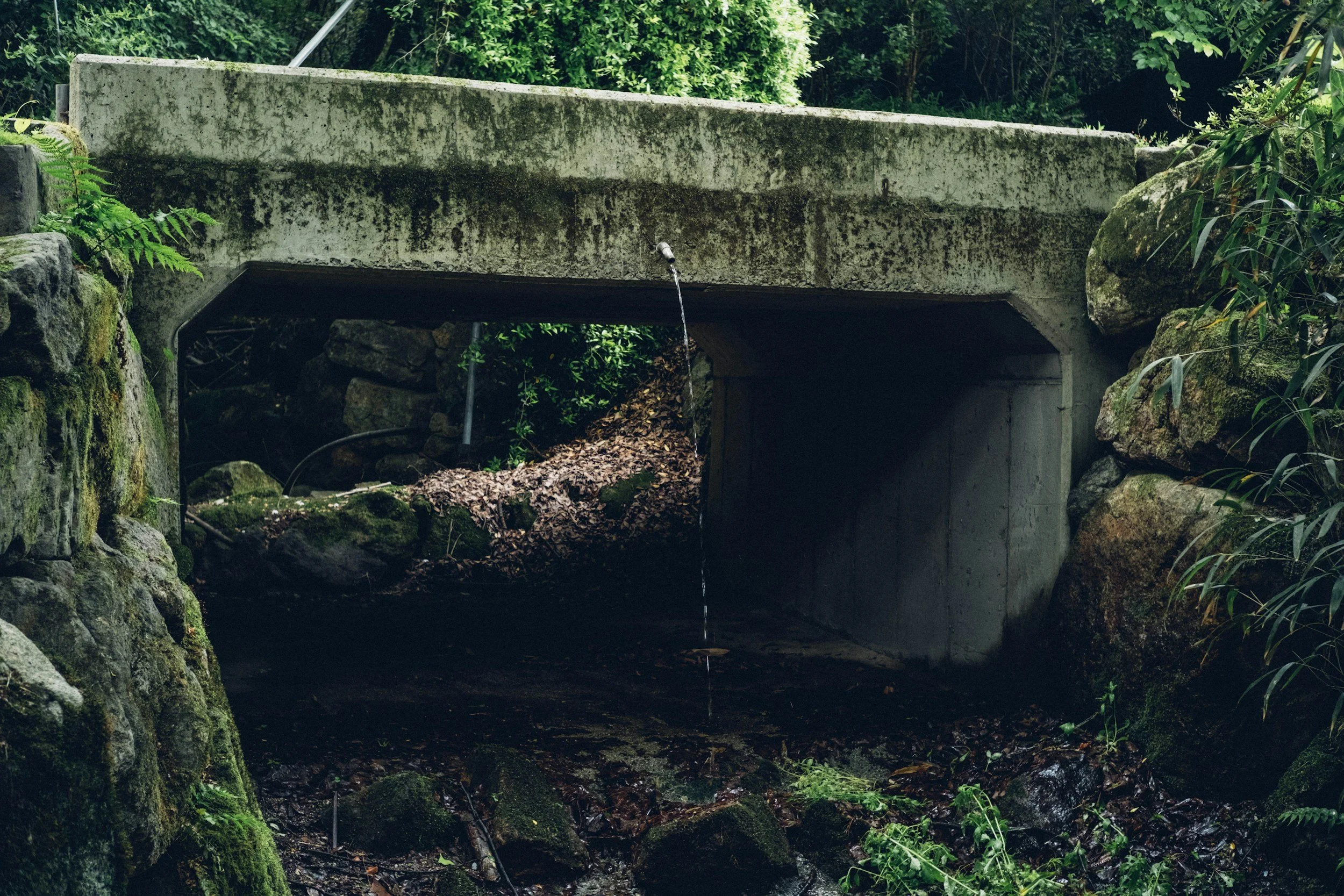
Evaluate the existing structures (culverts, pipes, under-road bridges) where the creek crosses the road.
Structural Dimensions: Measure the width, height, length, and "openness ratio" of the culvert. Many animals are hesitant to enter long, dark, confined spaces.
Aquatic Barriers: Check for "perched" culverts (where the pipe outlet drops off above the water level, blocking fish and amphibians), excessive water velocity, or shallow water depth.
Terrestrial Pathways: Determine if the culvert contains any dry banks or walkable ledges. If a culvert is entirely filled with water, terrestrial animals are forced to climb up and cross over the surface of the roadway.
3. Wildlife Activity Monitoring
Collect empirical evidence to see how wildlife interacts with the road barrier.
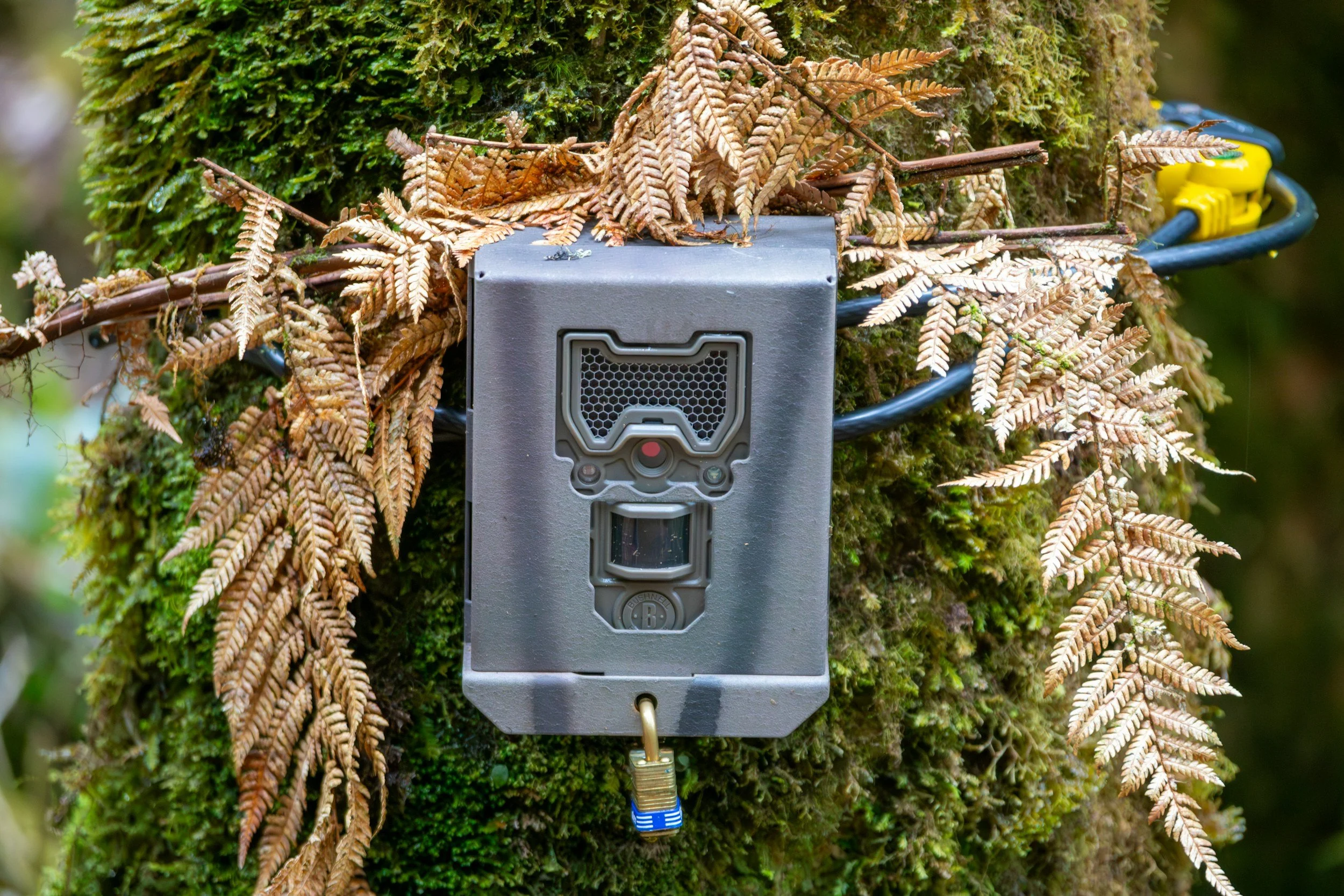
Camera Traps: Set up motion-activated trail cameras at the entrances of the culverts and along the creek approaches to track animal behavior. Note whether they utilize the tunnel, approach it and turn around (repelled), or completely avoid it.
Track and Sign Surveys: Regularly search the mud, sand, and snow near the creek banks for tracks, scat, and bedding sites.
Road Mortality Surveys: Conduct walking or driving surveys along the target road segment to document where animals are successfully or unsuccessfully crossing the pavement.
Community Science Reporting Tool: Engage the public to report observations of wildlife crossings.
-

Phase 2: Mapping
Creating a map of wildlife hotpots where wildlife corridors intersect with roadways provide the town planning and highway departments with information they need to make informed decisions to keep humans and wildlife safe.
1.Modeling Connectivity & Habitat Quality
Analyze how the creek functions as a broader corridor beyond just the roadway footprint.
Habitat Mapping: Assess the quality of the vegetation and cover on both sides of the road. Wildlife requires native vegetation and cover to feel safe approaching a crossing.
GIS Modeling: Use Geographic Information Systems (GIS) to model the regional landscape corridor, identifying how a fix at this specific roadway location impacts overall regional habitat connectivity.
2. Engineering and Mitigation Recommendations
Compile your findings to recommend engineering solutions tailored to the site:
Retrofits: For minor improvements, recommend adding dry wildlife ledges inside the culvert or clearing debris blocking the entrance.
Replacement Design: For major projects, recommend replacing tight pipes with wide, bottomless structural arches or open-span bridges that preserve the natural stream bed and dry banks.
Funnel Fencing: Recommend directional, wildlife-exclusion fencing along the road margins to prevent road access and safely guide animals into the underpass.
-
Phase 3: Funding
After reporting to local town officials and identifying key locations for mitigation, apply for funding.
1. Reporting and Stakeholder Engagement
Translate the data into actionable policy or construction plans. Present the study to the town highway department, the NYS Department of Environmental Conservation, the town planning department, and the town trustees to align the findings with upcoming scheduled road maintenance and federal grant opportunities.
Book Talk with Ben Goldfarb
Tuesday, October 13th, 6:00-7:30 PM
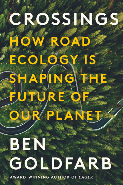
Join us for an online program with Ben Goldfarb, author of Crossings: How road ecology is shaping the future of our planet. Crossings was named one of the best books of 2023 by the New York Times and is a recipient of the Sierra Club’s Rachel Carson Award and the Banff Mountain Book Competition Grand Prize.